You don’t see it until you’re right there, and even then, you remain confused. Did you miss a turn in the road, or misread the map? You are now driving through someone’s yard, or maybe even their house. You slow to a stop.
On rural road R575, also known as the Ring of Beara and more recently rebranded as part of the Wild Atlantic Way, you are making your way along the northern coast of the Beara Peninsula in far southwestern Ireland. You are in the hamlet of Gortahig, between Eyeries, a multicolored strip of connected houses on the bay, and Allihies, where the copper mines once flourished. The road, like the landscape, is raw, and it is disconcertingly narrow, often too narrow for two cars to pass one another.
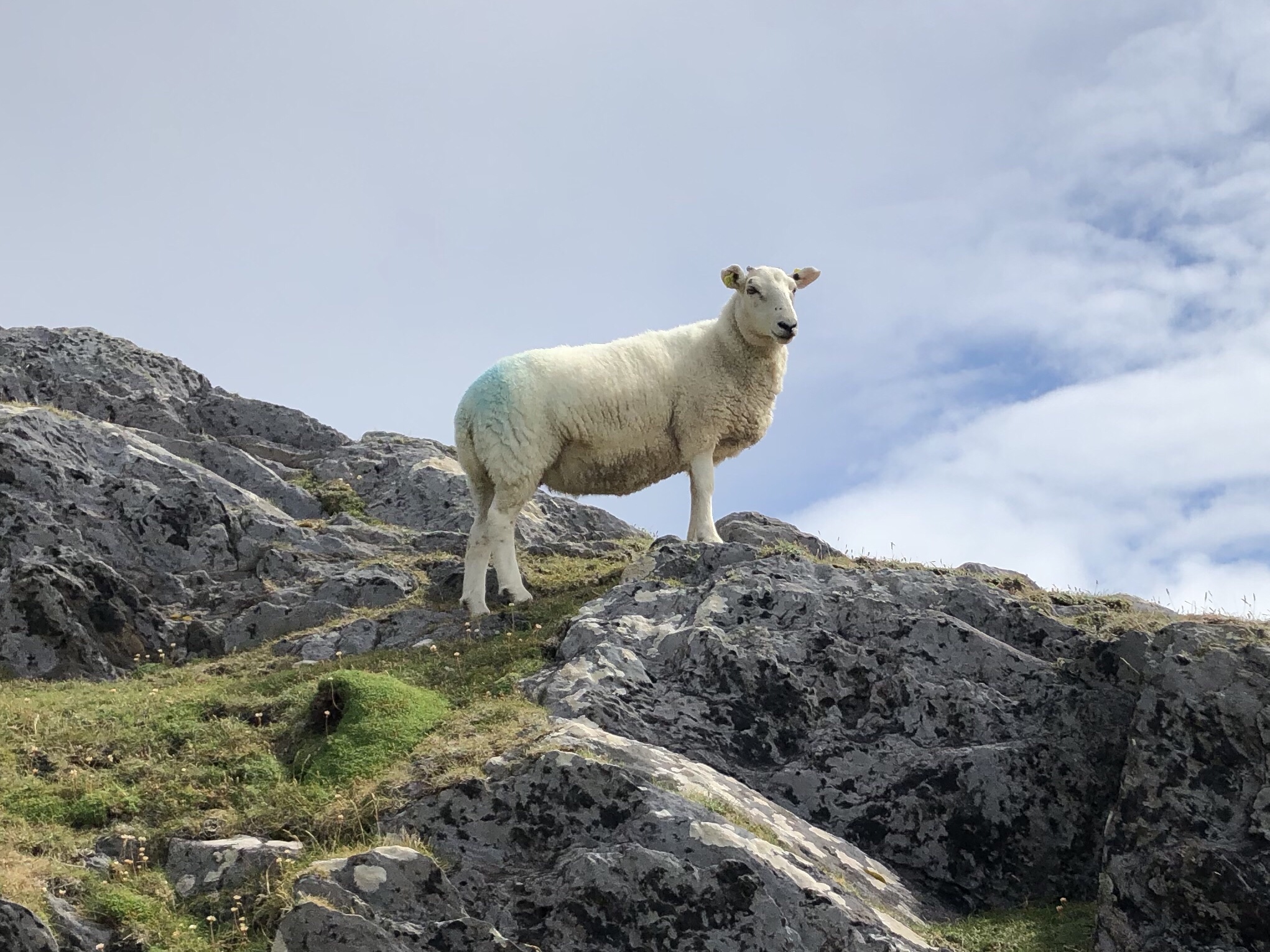
But not as narrow as what you suddenly see in front of you, which seems too thin for even one car. This road that strings together the scenic green towns of the peninsula into a jade necklace somehow threads its way between an old house and an old shed at a 45-degree angle. Even in a small car, you take your time making your way through, so as not to hit the buildings that crowd the road. A stern sheep looks down at you from the hill nearby.

Dumbfounded, you ponder: “How do trucks and buses make it through here?”
The answer, of course, is that they don’t. Arriving in the next town, you ask at the pub about the narrow passage behind you, and the bartender fills you in.
No, large vehicles can’t get through there. If they leave from Eyeries or Allihies, when they get to that house they realize they can’t go any further, and they have to back up a mile or more just to turn around — in reverse on a winding mountain road that has drop-offs into the Atlantic. So this narrow passage of Gortahig restricts movement along the main circulating road of the Beara Peninsula — a choke point of a hundred feet along a hundred-mile stretch.
Have they ever thought about, you know, widening the road?
Well, it is someone’s house and shed, you’re gently told, a family that’s lived there a long time. Some years ago, the owner evidently offered to let the shed be knocked down to open some more room for the road, but others in west Cork County weren’t passionate about forcing that change. The only group motivated to alter the road were the tour companies that wanted to send large coaches around the Ring of Beara, like they do on the next peninsula over, Kerry.
Given the history of the property and the cost of a new road, the majority decided just to let things be. So the narrow passage of Gortahig remains.
And as you think more about it, the more you realize how much this tiny dot on the map changes everything in western Ireland. Because the big tour buses can’t make it around the Ring of Beara, they stick to the Ring of Kerry. Because they stick to the Ring of Kerry, that peninsula to the north has dramatically more tourists than Beara, even though they are equally beautiful. Because there are far fewer tourists on Beara, large hotels haven’t been established there like they have been across Kerry. Because there aren’t many hotels or tourist infrastructure, the scene on Beara is decidedly calmer, smaller, and more local.
When you arrive in Castletownbere, the largest, but still rather small, town on the Beara Peninsula, you notice that it remains primarily an active fishing port, despite abundant natural beauty and an island just off the coast with medieval ruins. It’s a tourist magnet with the polarity reversed. The fair that comes to Castletownbere in August doesn’t have the pop acts that show up for Galway’s summer arts festival, but it does feature an egg toss and a fish packing box stacking contest.
All it would take to change all of this is to relocate a modest house or its even more modest shed, but they’ve chosen not to do that on Beara. They like things as they are.